
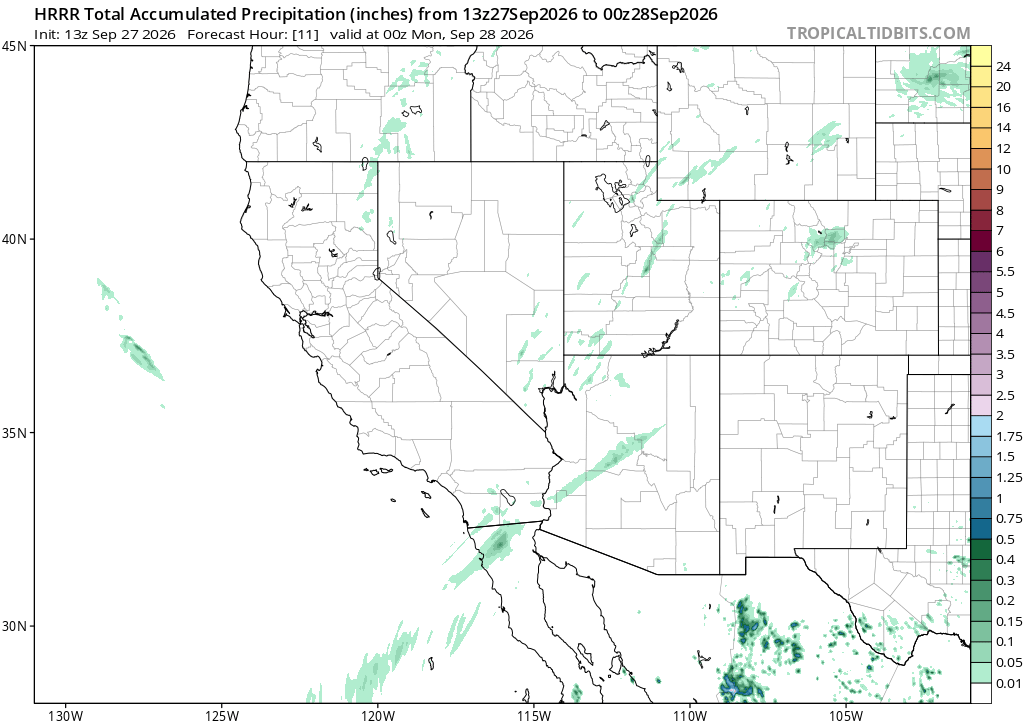
I saw light rain moving across central Arizona this morning and figured the models must have missed the timing on Polo’s moisture. So I went back through every run I had, ICON, ECMWF, GFS, and the high-resolution HRRR. None of them show meaningful accumulation over the area until later today.
So which is wrong, what I was seeing or what the models were saying? Neither. Dozens of personal weather stations across the area, from Wickenburg through Wittmann to Anthem and New River, sit right under the radar echo showing up right now. Every one of them reports 0.0 inches. Also, I checked AZ511.com‘s webcams. The roads under the radar rain image were dry.
That’s virga, rain that evaporates before it reaches the ground. It’s common here this time of year. The air near the surface is often dry enough to eat a shower before it lands, even with real moisture and a real radar return overhead.
The models weren’t behind schedule. They had it right the whole time. The radar just doesn’t know the difference between rain and something that quits before it gets here.