
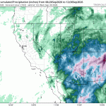
Quick update on Polo. This morning’s runs came in noticeably wetter and more widespread than what we’ve been looking at. All three models, ICON, ECMWF, and GFS, are now painting a broad swath of rain across Arizona and New Mexico instead of the split picture we had a day ago, where ICON was the wet outlier and GFS stayed mostly dry.
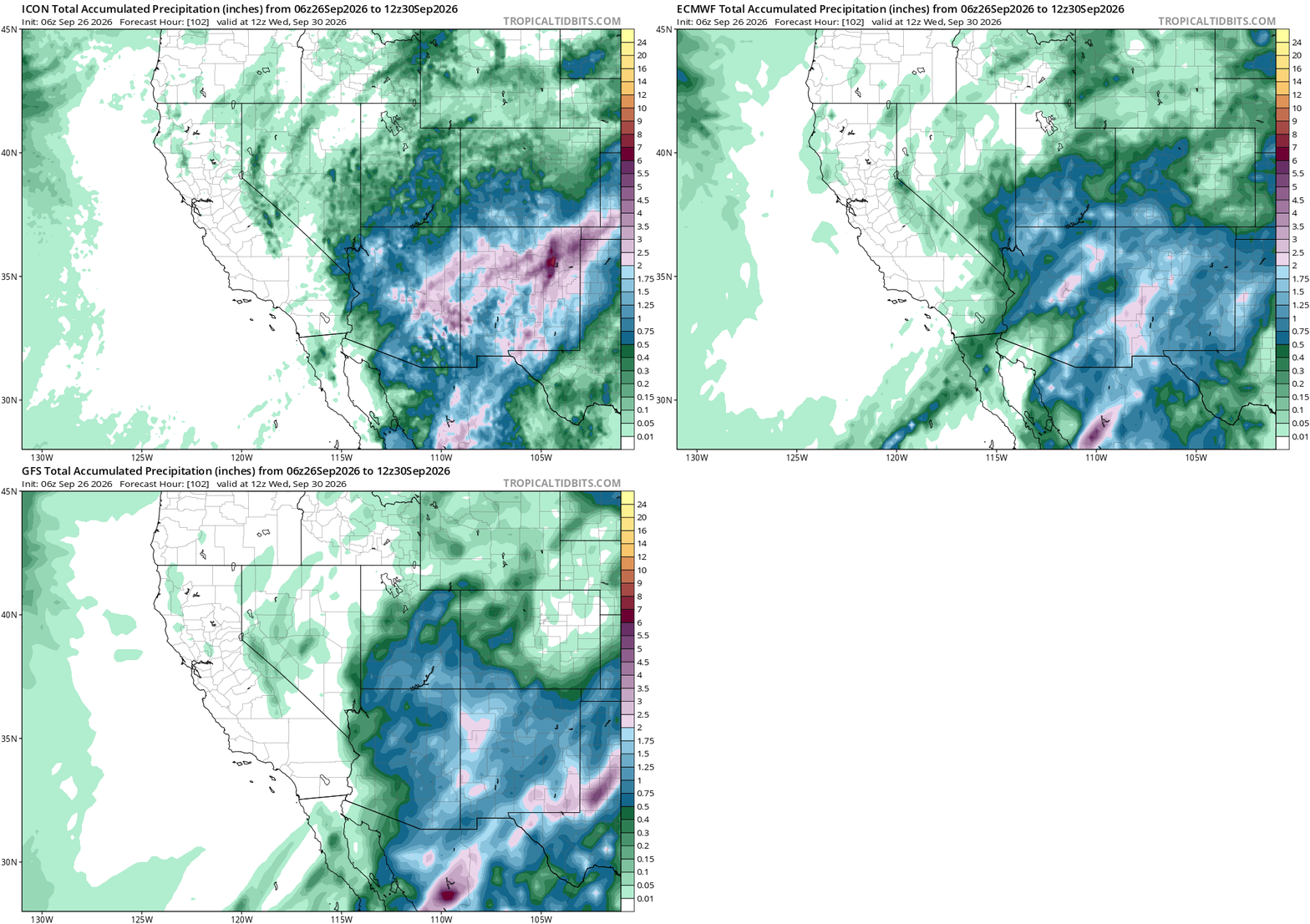
ICON is still the most aggressive of the three, with a couple of isolated pockets pushing into the darker shading over central Arizona and the New Mexico border, the kind of localized max that shows up in convective-heavy runs. But ECMWF and GFS have both caught up to a broad blue footprint covering most of the same area now. Three models landing in the same general area matters more than any one model’s peak number. We’re definitely in the splash zone now, the question is just how big a splash.
I’m not going to pull exact numbers off these maps. Color-fill totals like this are easy to misread, and Anthem and Flagstaff’s actual forecast totals still need the same run-by-run verification we’ve been doing all week. Once the next verified run-evolution charts come back, we’ll have real numbers to put next to this. For now, this confirms the wetter signal from earlier in the week didn’t fade. It spread.